This is an image from Google Earth:

This is an image from more or less the same location taken this afternoon: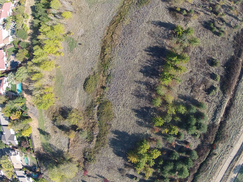 Zoomed in – note the game trails:
 Since the start of this project I’ve wanted to see these images side-by-side. The thing that stands out most in my mind is the vegetation. The DIY photos were obviously taken in a different season than the Google Earth images. This illustrates what is to me one of the most interesting dynamics of the project, the dynamic of time. That is, because we have the ability to generate on-demand imagery, we can capture and analyze the element of change in a very granular way.